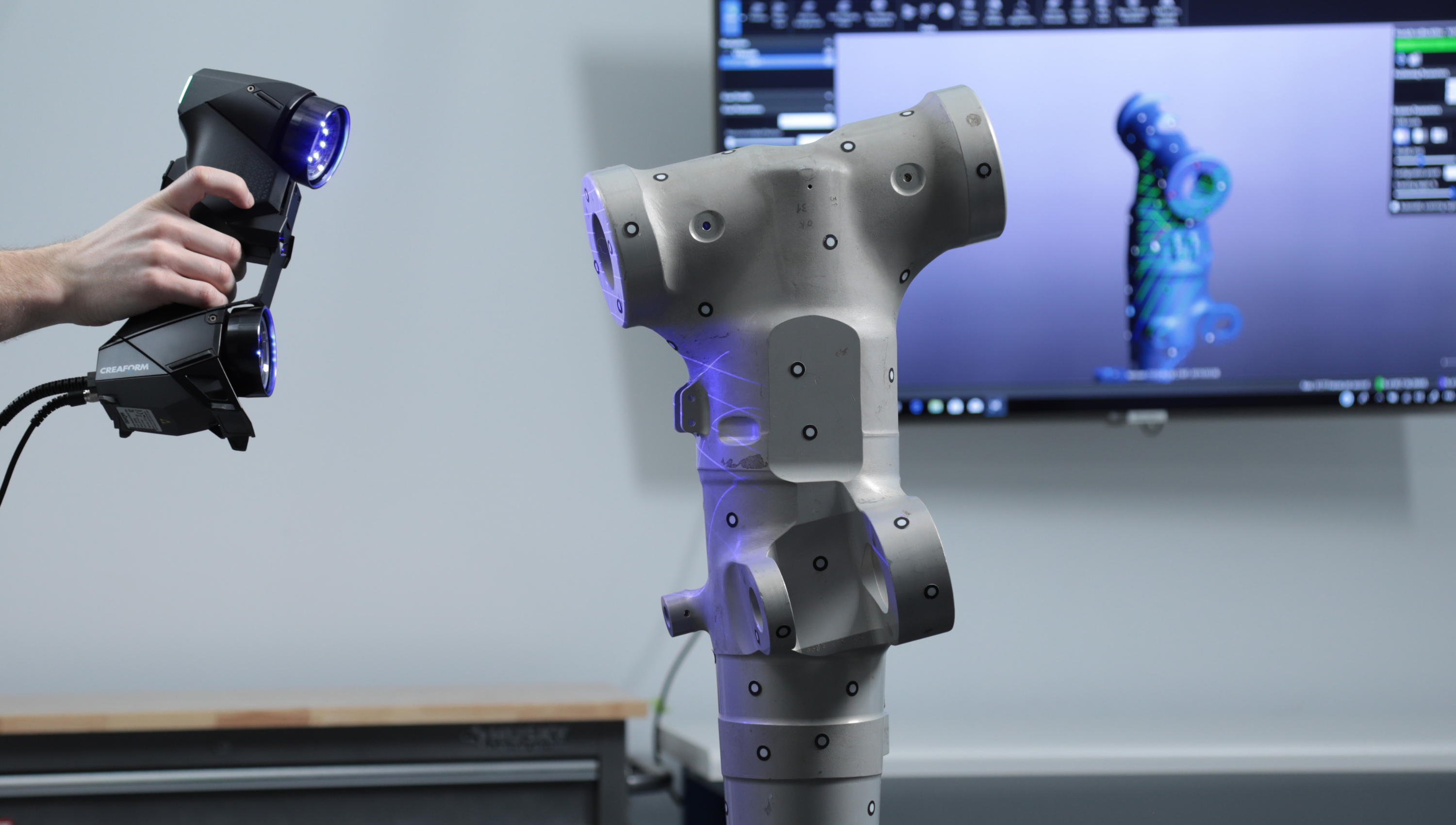
3D Laser Scanning & Modelling
At TAC, we use 3D laser scanning to capture precise locations and distances for your project. Our LiDAR technology generates a detailed point cloud file, allowing us to create accurate 3D models. Each data point is converted to a pixel with a known x, y, and z coordinate, ensuring that every aspect of your project is accounted for. Trust us to bring precision and efficiency to your project with 3D laser scanning. And we’ve been providing outstanding 3D laser scan results for clients since 2016:
- As-builts, reality capture, and existing conditions data
- Construction verification, sequencing, scheduling, and simulations
- Design engineering for facility upgrades or expansions.
- 2D and 3D laser map of a building or facilities include producing of P&ID Drawings
- Prefabrication
- Clash detection
- Architectural documentation or historical preservation
- Calculating volumes, deformation analysis, and overhead clearances
- Virtual design and construction
- Laser scanning for facility coordination
- Collecting geospatial data
- Creating a digital twin
- Performing advanced analysis to easily aggregate, query, visualize and analyze data in a single 3D model.

Procurement and Sourcing
Rental Services
Engineering Design Services
Inspecting & Monitoring
Instrument Calibration
TAC Profile
Download Now!
2024 TAC, All right reserved.
Designed And Developed By Mohamed Ali